If you like this site, please donate some money to help support the continuation of this webpage. We are committed to preserving the rich history of the Blewett Pass region. Donations pay for photo and travel costs, library research and website fees. Thank you.
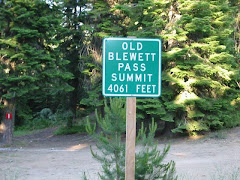
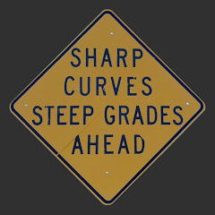
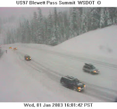
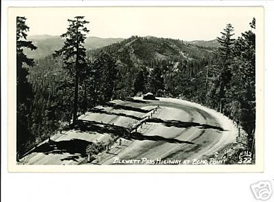
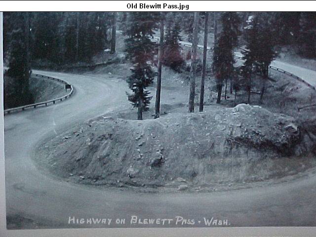
Historic Blewett Pass Highway Old Blewett Pass Road Blewett Pass Rd Swauk Pass US 97
Dedicated to the memory of my Grandmother: Frankie (Pittman) West Holman
Dedicated to the memory of my Mother: Beverly Jean (West) Johnsen
Automobile on Blewett Pass. The writing on the photo says: Blewett Pass 10 miles east of summit, Jul 1926
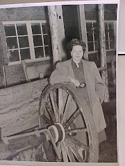
Jewel Sinclair helped save the historic mining arrastra near Blewett when US 97 was built
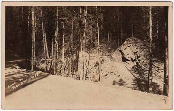
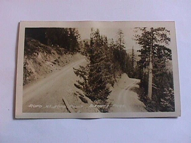
An early auto caravan on the rugged road over Blewett Pass
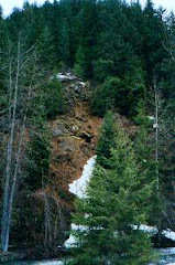
A mine on a hillside near Blewett
Should the historic Blewett Pass Highway be restored and preserved?